
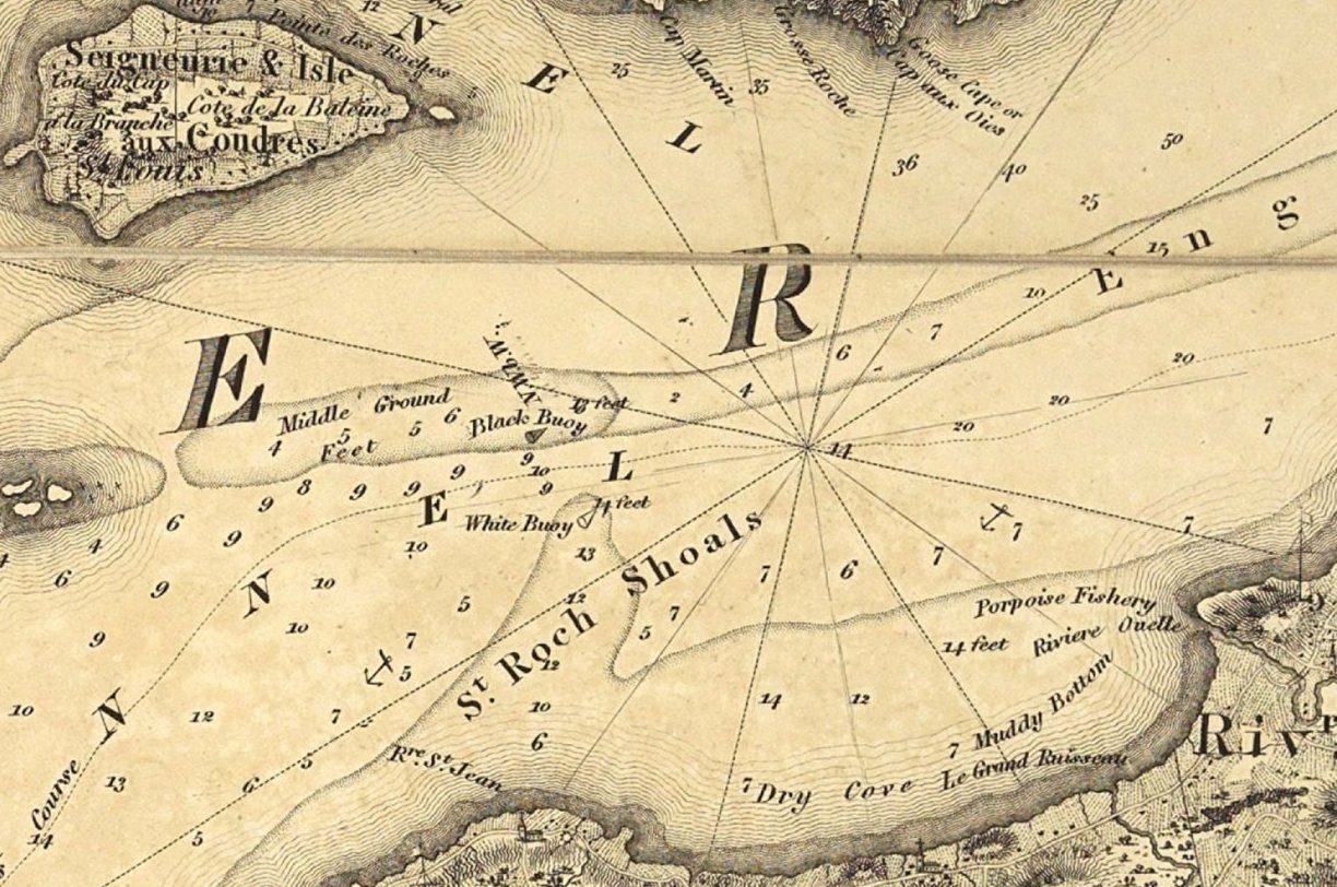
Drawn by Joseph Bouchette in 1815, this map was invaluable to navigators. It shows the depth of the river in several spots, the best anchoring places and even the sites of shipwrecks, such as the Alcide, near Le Bic.
It also shows the markers that were already placed in the estuary to prevent vessels from running aground. South of Île aux Coudres, the safest route was indicated by floating buoys. On the southern shore, a telegraphic network using flags transmitted certain types of information. But in heavy fog, only the lighthouse on Île Verte could guide ships.
One of the most dangerous locations was the mouth of the Saguenay, where the combination of currents, tides and shallows complicated navigators’ task. Before a deep-water wharf was built there, cruise vessels had to steam straight ahead, as it was too dangerous to dock.